Tropical storm warnings have been issued for parts of the Texas and Louisiana coasts as the potential system gathers in the Gulf of Mexico.
The as-yet-unnamed storm was located 130 miles (209 kilometers) south of Morgan City, Louisiana, with top winds of 35 mph, the National Hurricane Center said in a report. consult on Monday. If the system organizes further and reaches winds of 39 mph, it will be named Edward and become the fifth storm of the six-month Atlantic hurricane season.
The hurricane center said the storm was small, but its water surface temperature was about 86 degrees Fahrenheit (30 degrees Celsius), hot enough to fuel intensification. However, any intensification is likely to be short-lived, with the system expected to move inland on Tuesday, bringing heavy rain and flooding risks to parts of Texas and Louisiana.
“Some strengthening is expected before the system reaches the coast on Tuesday,” the center said in the advisory.
Four brief storms have formed in the Atlantic so far this year, but none have reached hurricane strength. Normally, the basin has produced six named storms so far, two of which could develop into hurricanes, but this year’s El Niño in the Pacific is increasing wind shear across the Atlantic, which has been dampening storms. Storms in the Gulf are often closely watched because the region is critical to the production, processing and refining of U.S. oil and natural gas.
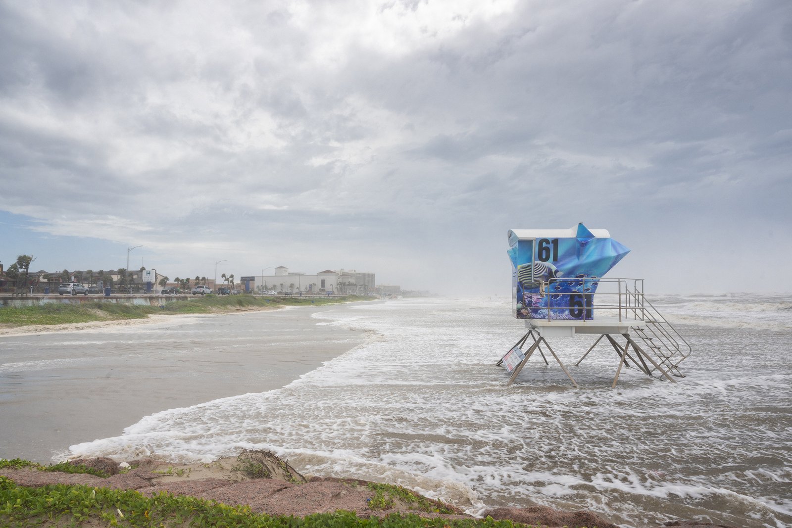
Photo: Coastline in Galveston, Texas, during a tropical storm warning on June 17, 2026.
Copyright 2026 Bloomberg.
theme
DisastersTexasNatural DisastersLouisianaStorms
Is this article valuable?
Here are more articles you might like.
interested in disaster?
Get automated alerts on this topic.